ARUGAM BAY
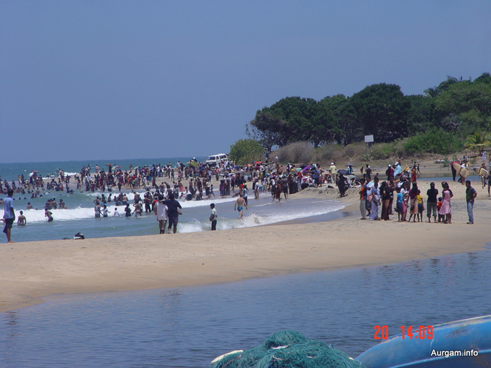
Arugam Bay is a bay situated on the Indian Ocean in the dry zone of Sri Lanka's southeast coast. The bay is located 320 km due east of Colombo. It is a popular surfing and tourist destination. Many of the buildings were destroyed in the 2004 tsunami. Due to its popularity among tourists, the area has managed a slow recovery by private initiatives only. As late as 2010 no help has been received from any official source or international organizations. An exception is uncoordinated support for fishing folk as well as many school rebuilding programs, resulting in a continuation to provide only separatist schools for each community. Although there is a huge demand for an international school, one huge new building donated by the people of Japan remains largely unoccupied since the grand 'opening' ceremony in 2007. (Distance - 78 Km from Ampara Town)
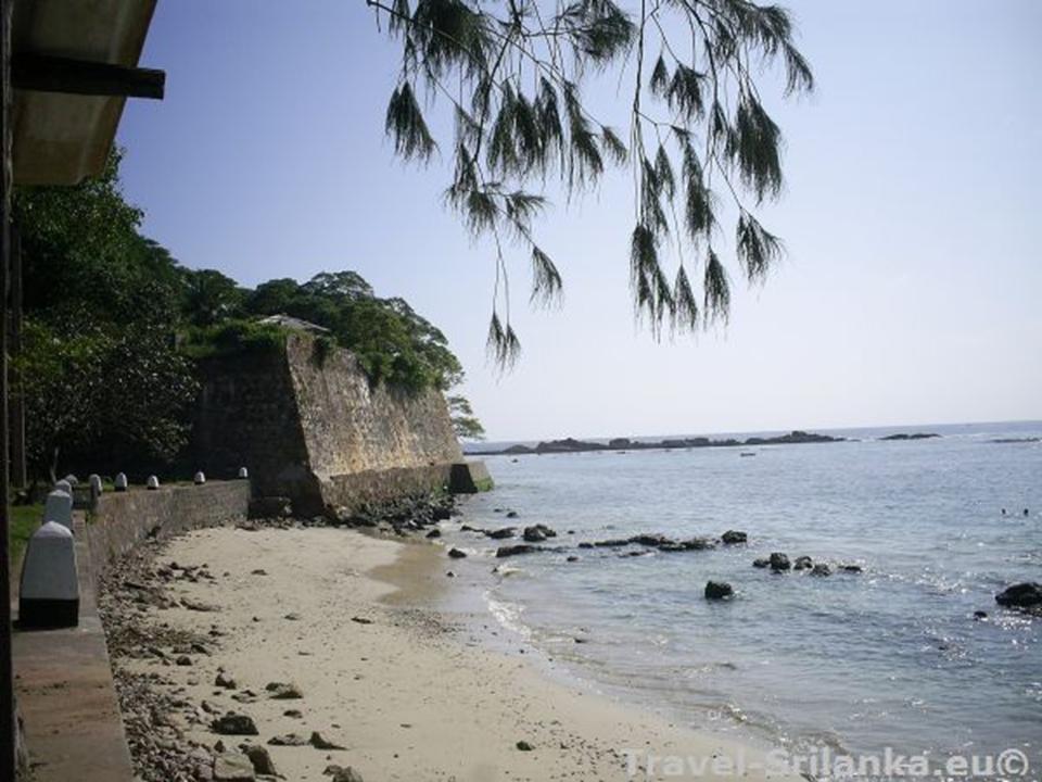
FORT OF BATTICALOA
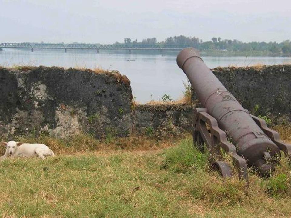
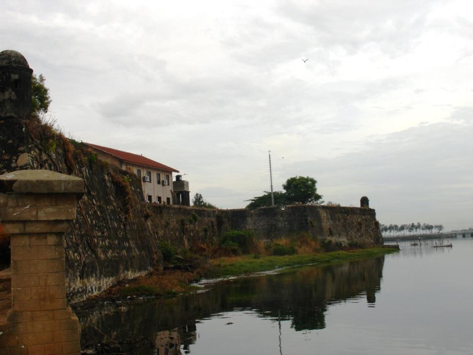
Originally a Portuguese settlement, the Fort of Batticaloa was first constructed in 1628 as a trading and administrative center. Set upon a small island, the fort protrudes into a swampy lagoon, surveying the brackish waters protected by the city’s outer banks. The Dutch had arrived in 1602, drawn to the prospects of trade and the abundance of pepper and cinnamon grown by the local community. However, it was not until King Rajasinghe in Kandy urged Dutch intervention that the European colonial power took action, capturing the fort in 1638 and establishing sovereignty in the region. (Distance - 4.5 Km from Batticaloa Town)
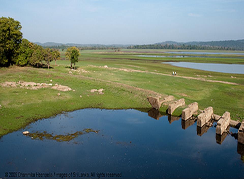
BATTICALOA LAGOON
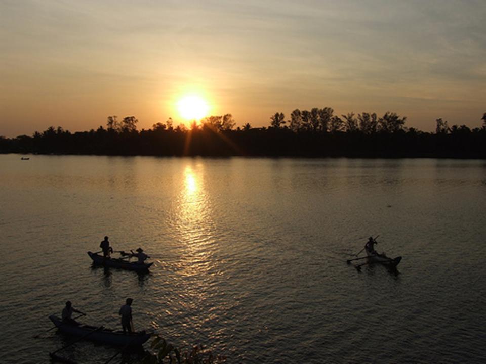
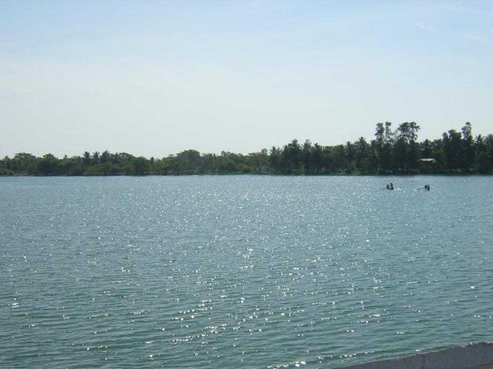
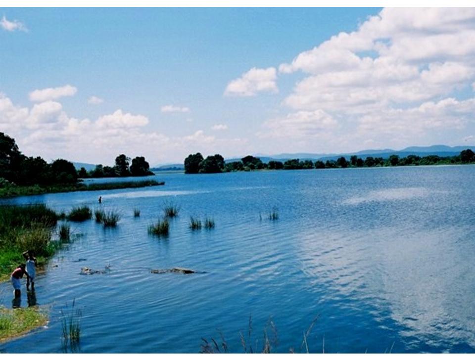
Batticaloa Lagoon is a very large estuarine lagoon in Batticaloa District, eastern Sri Lanka. The city of Batticaloa is located on land between the lagoon and the Indian Ocean.Batticaloa district is flourished with three lagoons, such Batticaloa lagoon, Valaichchenai Lagoon and Vakari Lagoon. Among them, Batticaloa lagoon is the largest lagoon in Batticaloa District. Batticaloa lagoon is a long and narrow lagoon situated in the east coast of Sri Lanka with the total area of approximately 11,500 ha of water. (Distance - 33.5 Km from Batticaloa Town)
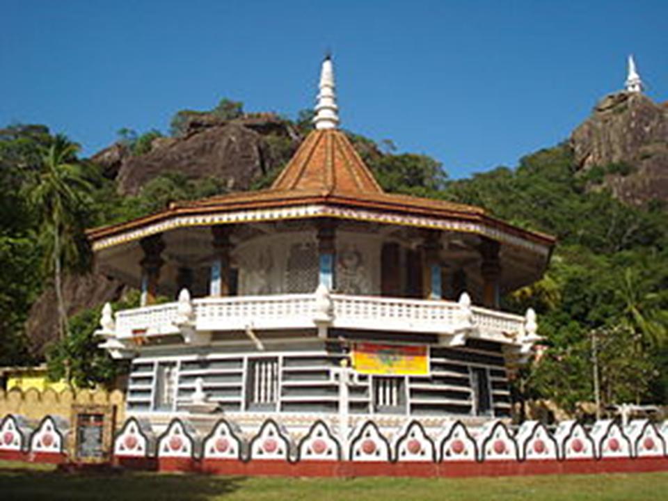
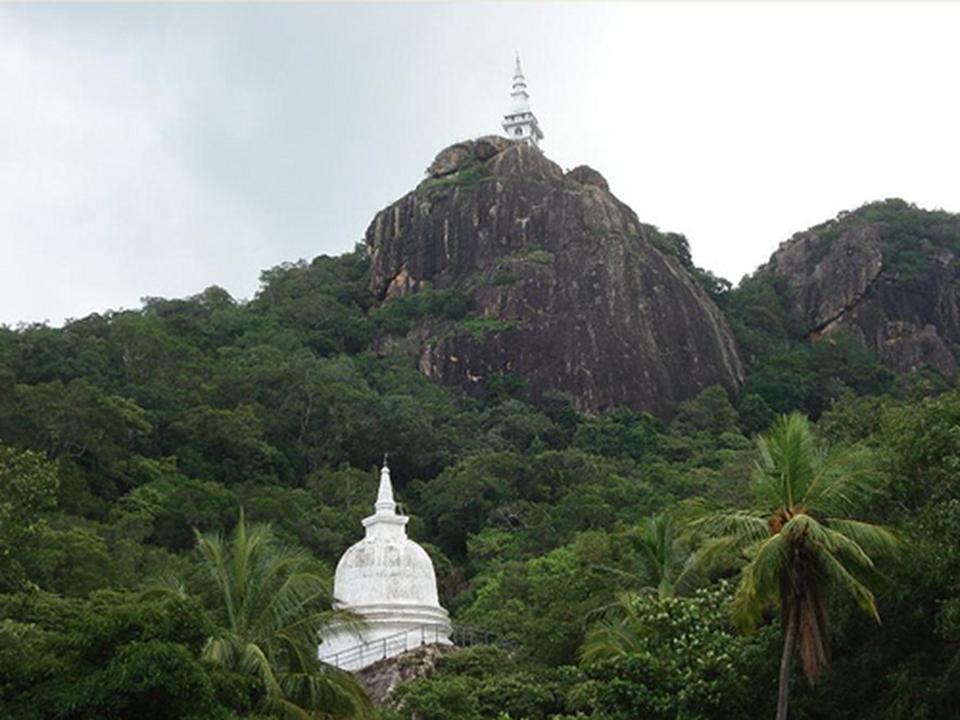
BUDDANGALA VIHARAYA
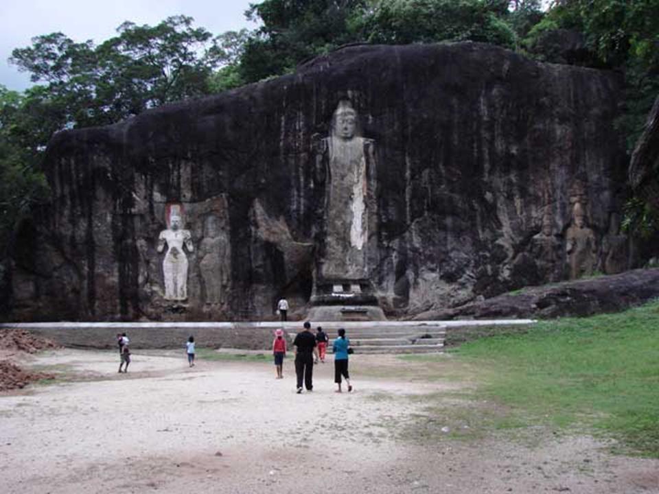
This Sri Lanka's oldest monastery (Buddangala) is situated in a mountain over 500 feet high. The Dagaba has been enshrined with the relics of Buddha and his two leading monks Seriyuth and Mugalan's remains. (Distance - 6 Km from Ampara Town)
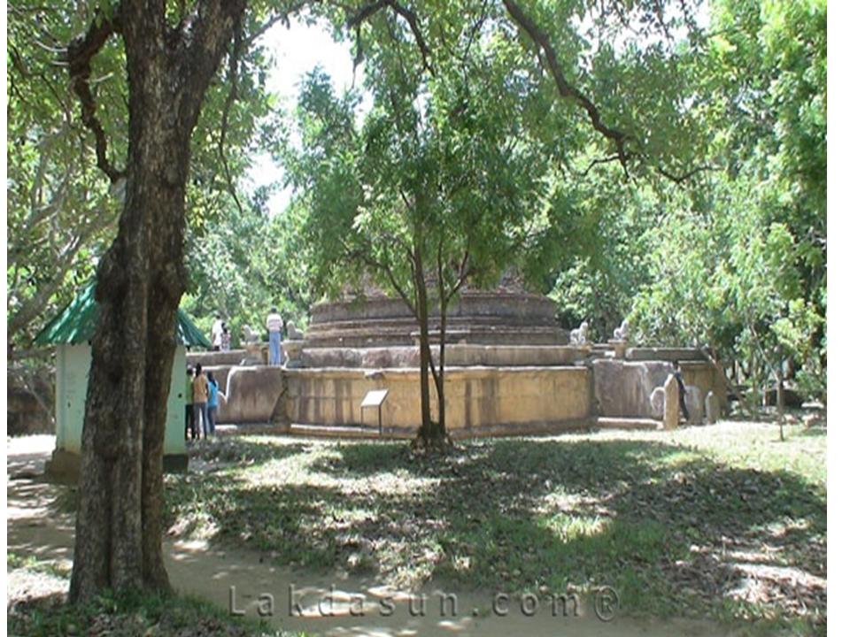
DIMBULAGALA RAJA MAHA VIHARA
Dimbulagala Raja Maha Vihara is situated 16 kilometres south east of the ancient city of Polonnaruwa, Sri Lanka. The Dimbulagala range houses a number of caves cut into the rock with Brahmi inscriptions over their drip ledges. This forest hermitage of medieval times and holy abode since time immemorial, home to some of the most valued fragments of early frescoes was called the Gunners Quoin by the British. (Distance - 24 Km from Polonnaruwa Town)
FORT FREDRICK - TRINCOMALEE
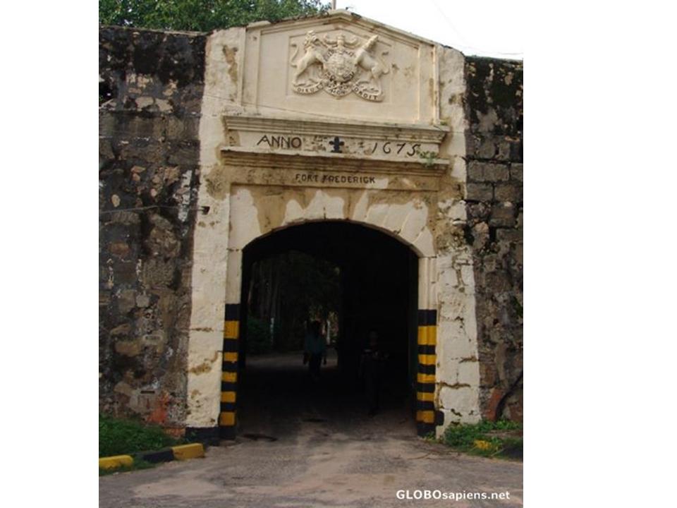
Fort Fredrick is a fort built by Portuguese at Trincomalee, Sri Lanka in 1624. It was built from the debris of the ancient Hindu temple -Koneswaram temple (Temple of a Thousand Pillars) that was destroyed by the Portuguese. This was captured by a Dutch fleet under Admiral Westerwold in 1639. Not until 1665 was a new fort built here by the Dutch defend against the advancements of the British and the French. In 1672, the year when the Dutch Republic was attacked by France, Britain, and two German states, the French captured Trincomalee and later they occupied Batticaloa. However soon the French were forced to leave. Trincomalee was important for its large all-season secure harbor. In late 18th century Trincomalee traded hands once more with the French capturing it again and later handing back to the Dutch East India Company (VOC) at the Peace of Paris in 1784. In 1795 it was taken over by the British, and remained a British garrison till 1948. Coastal artillery guns were added during the two World Wars. Today it remains garrisoned by a detachment of the Sri Lanka Army accessible to visitors. (Distance - 4 km from Trincomalee Town)
GAL VIHARA
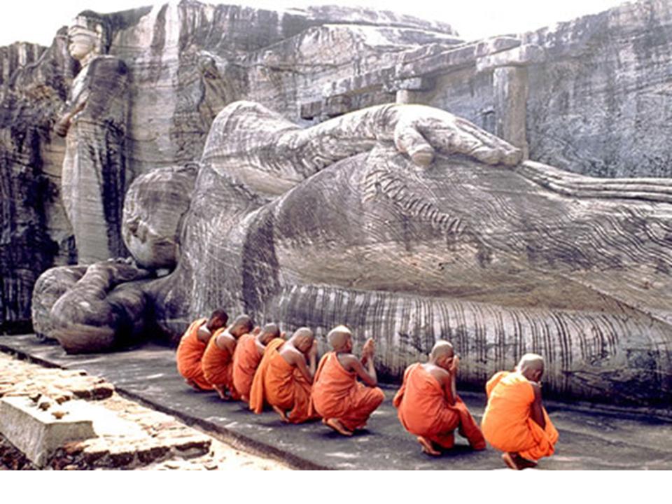
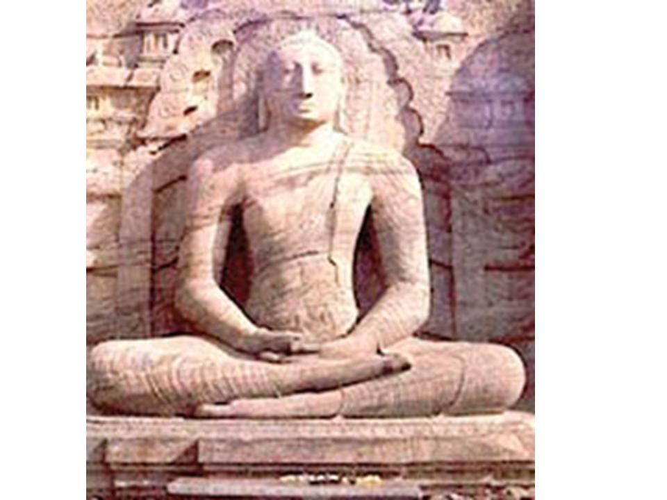
The Gal Vihara, also known as Gal Viharaya, is a rock temple of the Buddha situated in the ancient city of Polonnaruwa in north-central Sri Lanka. It was constructed in the 12th century by Parakramabahu I. The central feature of the shrine are four images of the Buddha, which have been carved into the face of a large granite rock. The images consist of a large seated figure, another, smaller seated figure inside an artificial cavern, and standing figure and a reclining figure. These are considered to be some of the best examples of ancient Sinhalese sculpting and carving arts, and have made the Gal Vihara one of the most visited monuments in Polonnaruwa. (Distance - 4.5 km from Polonnaruwa Town)
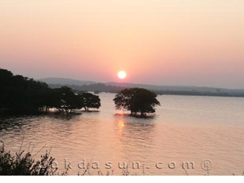
GIRITALE TANK
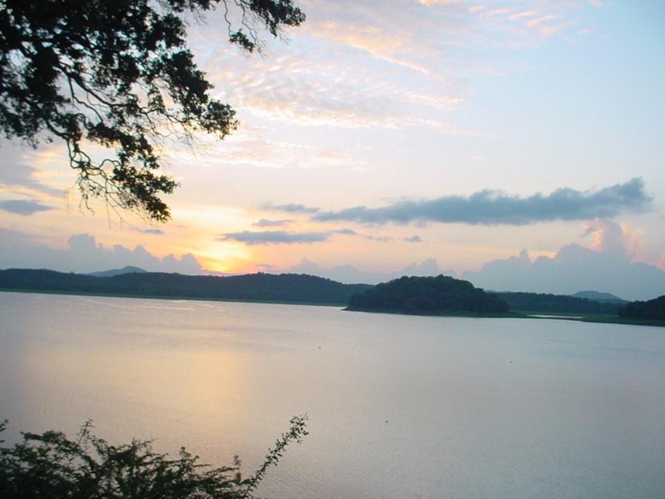
This beautiful tank is situated along Polonnaruwa Habrana Road. It is the work of King Agbo ii who reigned in the 7th century.. A large area of paddy lands are fed by this tank. (Distance - 16.5 km from Polonnaruwa Town)
HOT SPRINGS
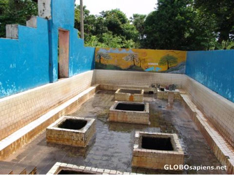
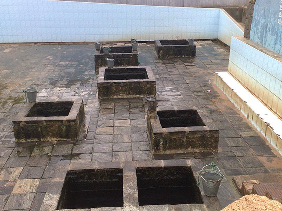
The region of Kanniya , Trincomalee, is popular among both local and foreign travelers alike for its seven hot springs. These hot water springs have been made in to seven wells which are full of water during most parts of the year. These wells each vary in the level of water temperature and are popular due to their legendary origins. Legend has it that Vishnu, the Lord of the Past and the Present, wanted to trick Ravana in to thinking that his mother Kannya had passed away. Believing what Vishnu said, Ravana frantically searched for a source of water to cleanse his mothers body and prepare it for its last rites. Immediately Vishnu is said to have disappeared from the site and created the hot springs at the location where he stood. (Distance - 6 km from Trincomalee Town)
KANTALE TANK
This ancient irrigation construction belongs to the Trincomalee District. According to the chronicles the tank, also named “Gangathala Vapi” was built by Aggabodhi the II (606-618) and rehabilitated and developed by King Parakramabahu the Great. (Distance - 40 km from Trincomalee Town)